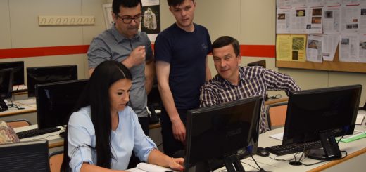
ArcGIS training in Klaipeda
26 October – 27 October, 2017
Klaipėda, Lithuania
Training was be provided by Hnit-Baltic experts. 20 KVK and 4 LLU teachers learned how to create and manage data, maps, and analytical models with ArcGIS. Hnit-Baltic experts showed how to get around maps and start adding your own data and importing data from existing databases, demonstrated how to select and edit individual map elements, and connect to advanced geospatial data sources, explained the finer points of working with vector vs. raster data, and then showed how to style your map so it’s easy for others to interpret, including finishing touches such as a legend, scale bar, and annotations.